A Brief description of Scan to BIM process
Scan to BIM is the latest technology that has been adopted in AEC industry in the recent times and it is highly optimized to maximize the productivity of renovation projects. The complexities involved in the measurement of the existing structure which is oftentimes faced by architects and engineers have given rise to the implementation of this technology in renovation projects. Cost –cutting, time-saving and on-time deliveries of renovation projects have been experienced by all the stakeholders involved in project execution after practicing Scan to BIM.
Scan to BIM process basically involves three primary steps that are scanning, registration and modeling.
Scanning process: The sole purpose of scanning is to measure the dimensions of the structure in question. The process of scanning depends upon the renovation requirements and the level of details specified by the clients. To start with the process, first and most important is the installation of scanners on site. Apart from installing scanners, total station along with a set of planar is also installed. Once the building is scanned, the output that is delivered is a set of points, commonly known as Point Cloud Data or PCD. The Point cloud data collected after scanning contains geospatial information of the scanned building in a spherical coordinate system.
Before going ahead with scanning the crew involved in the process is required to create a scan plan that contains location of the scanner, target, and total station.
Registration: Registration is the process of converting two or more scans that are taken from various locations for the same scene into a single point cloud. This is basically done to get a common reference frame.
A new coordinate frame is set by 3D laser scanners for specific scans, along with providing a coordinate value for points that are scanned. For merging multiple accumulated PCDs it is important to that the coordinate frames remain consistent.
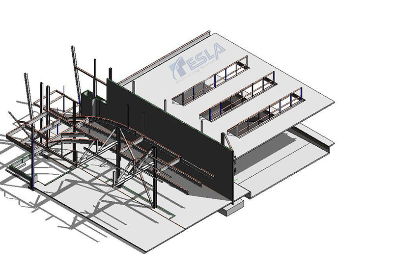
Modeling: Modeling is the process of generating 3D models of as-built structures by optimizing point cloud data in Revit environment. Point clouds are normally received in LAS file format, which is then converted by Revit into RCP file format. Once the data is converted into RCP files, it is optimized by Revit users to develop 3D models of existing building.
Hence in this way, BIM can optimize point cloud data in renovation projects.